Strengthening Geospatial Data Ecosystems
The Umbrella Fund's Geospatial Interventions focus is the first thematic intervention launched under the program. It addresses how geospatial data—information tied to specific locations—is generated, analyzed, and applied to strengthen public health service delivery in LMICs.
This intervention was developed in response to the Geospatial Value Pipeline assessments conducted in Nigeria and the Democratic Republic of Congo, which were further informed by subnational capacity assessments, identifying specific gaps at the state and provincial levels. These studies revealed critical gaps in both countries' geospatial ecosystems—from data availability to institutional capacity and operational use. In both contexts, health emerged as a high-priority sector where improved geospatial capability could immediately drive more efficient, equitable delivery of services.
Why Geospatial Data?
Geospatial data helps decision-makers understand where gaps in coverage exist, where to allocate resources, and how to deliver services more efficiently.
In the primary health landscape, this includes:
Improving maternal and child health outcomes
Enhancing immunization and vaccination campaign efficiency
Mapping underserved populations
Accelerating outbreak response with geospatial precision
Our Four-Pillar Approach
The Fund’s geospatial intervention is structured around four core pillars. These guide the design, funding, and support of all activities.
Identifying Data Gaps & Investment Opportunities
Collaborating with national governments, NGOs, and academic partners to map where geospatial data is underutilized or missing, and where targeted investment can unlock high-leverage outcomes.
Cross-Sector Collaboration & Partnership Development
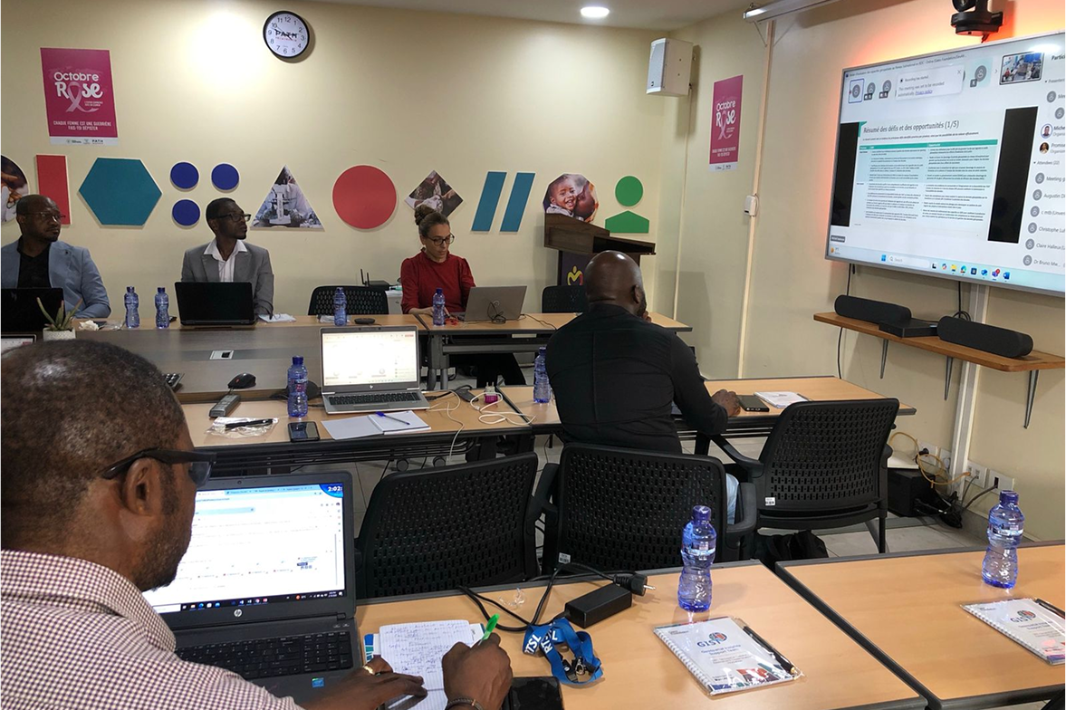
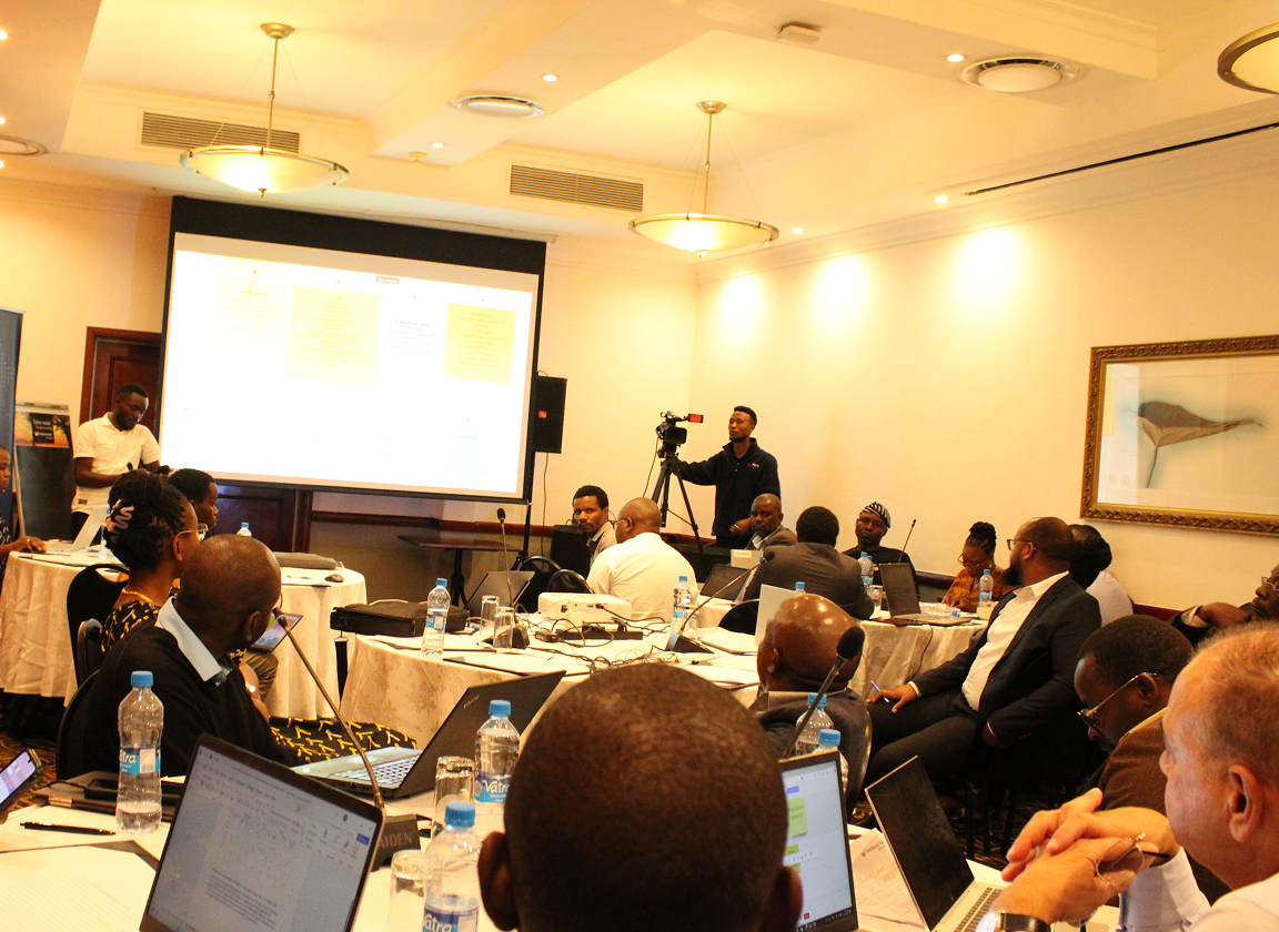
Fostering long-term strategic partnerships by facilitating technical exchanges and joint problem solving across institutions through virtual convenings, in-person sessions, and shared tools and platforms.

Funding & Technical Assistance
Providing catalytic sub-grants alongside technical support through competitive processes, enabling local organizations to build geospatial capacity, integrate new tools, and scale solutions aligned with national strategies.

Partnerships & Knowledge Exchange
Fostering strategic partnerships that expand geospatial literacy, align policies, and improve the governance of data systems to build long-term impact. This creates an enabling environment for sustainable geospatial capacity beyond the Fund's direct investments.
Based on comprehensive Value Pipeline and Capacity Assessments across Nigeria and DRC, we've identified four investment areas that address critical gaps in geospatial data ecosystems:

Geospatial Capacity Strengthening
Embedding sustainable geospatial training within academic institutions to build long-term expertise and local ownership.
National Geospatial Data System Strengthening
Creating coordinated national systems with governance frameworks to enhance data integration and accessibility.
Subnational Geospatial Data System Strengthening
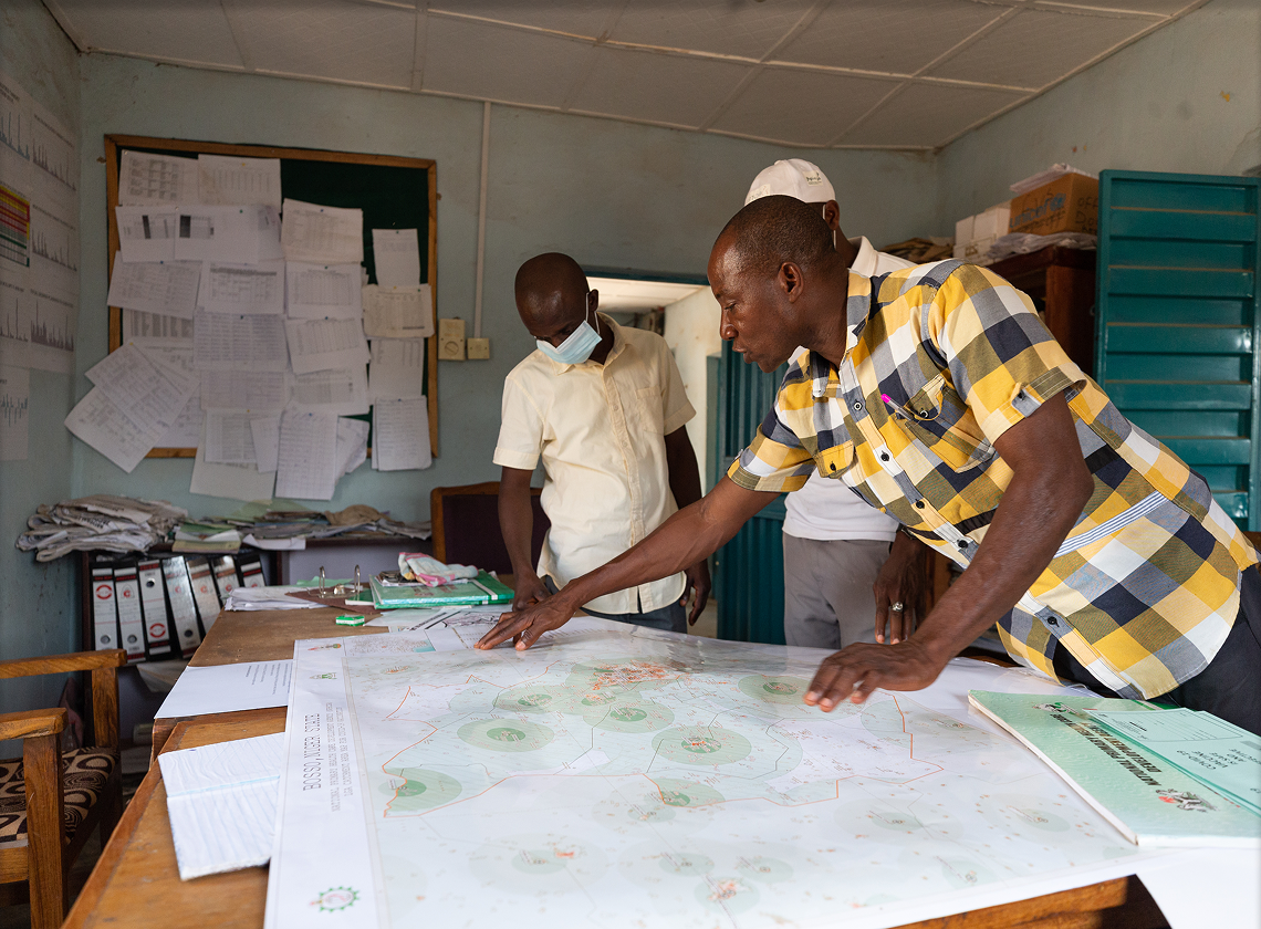
Developing local infrastructure and technical capacity for context-specific geospatial data use and decision-making.
National Geospatial Policy Operationalization
Translating national policy frameworks into practical systems that accelerate adoption and implementation.
Country Footprint
Since launching in 2024, the Fund has initiated work across multiple regions:

Nigeria
Working across priority states including Anambra, Kebbi, Borno, Niger, and Kano
Collaborating with NASRDA, state PHCDAs, and academic institutions

Democratic Republic of Congo
Engaging 13+ priority provinces.
Partnering with ANICNS, provincial health divisions, and universities.

Insights gathered from Nigeria and the DRC will inform future investment areas and potential expansion into new countries and sectors.
Sign up to receive updates on new calls and upcoming events.