Investment Area
Subnational Geospatial Infrastructure
Stand up states and district-level data systems, portals and repositories with local ownership.
Strengthening Local Geospatial Systems Where Decisions Are Made
Effective service delivery depends on local institutions having access to reliable geospatial information. Yet many sub-national governments continue to face constraints in technical capacity, infrastructure, and data management that limit evidence-based planning.
The Umbrella Fund invests in strengthening sub-national geospatial systems so that local governments can generate, manage, and use geospatial information to improve planning, resource allocation, and health service delivery.
Key Challenges Addressed:
Limited technical capacity for geospatial analysis.
Fragmented local data systems.
Limited digital infrastructure and equipment.
Weak coordination across levels of government.
Limited use of geospatial information in local planning.

How We Invest
The Fund strengthens local implementation capacity by supporting practical systems that improve the generation, management, and use of geospatial information.
Investment priorities include:
Developing localized geospatial systems.
Building technical capacity for sub-national teams.
Strengthening governance for local data management.
Integrating geospatial information into local planning and decision making.
Subnational Geospatial Data Systems
The Fund supports the development of locally managed geospatial systems that strengthen planning, improve data accessibility, and enhance coordination across sub-national institutions.
Scenario I
Support for establishing new localized systems, including repository development, governance structures, and technical capacity strengthening.
Scenario I
Support for establishing new localized systems, including repository development, governance structures, and technical capacity strengthening.
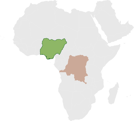
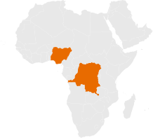
NIGERIA IMPLEMENTATION
DRC IMPLEMENTATION
Partner What was Delivered Status
Octave Analytics, in collaboration with Anambra State PHCDA
Developed the Anambra GeoHealth Portal, a state-owned platform that integrates DHIS2, GRID3, and surveillance data to support planning and decision-making across the state.
Live
FACT Foundation, in collaboration with Niger State PHCDA
Strengthening state capacity to use and manage data for decision making
In Development
Volte Health, in collaboration with Kebbi State PHCDA
Strengthening state capacity to use and manage data for decision making
In Development