umbrella-fund
7 min read
Introducing the Umbrella Fund for Geospatial Interventions: A Locally-Led Approach to Data-Driven Health Systems
Picture a vaccination team in rural Nigeria, searching for settlements on their vaccination routes. Or health workers in DRC's Kasai province, unknowingly skipping settlements that don't appear on any map at all. When local staff lack the tools and training to analyze their own community data, these aren't just technical glitches. They're life-or-death barriers that keep essential health services from reaching the people who need them most.
In Nigeria and the Democratic Republic of Congo, a new approach is changing how geospatial data strengthens health systems: The Umbrella Fund for Geospatial Interventions.
The Challenge: When Good Intentions Create Bad Systems
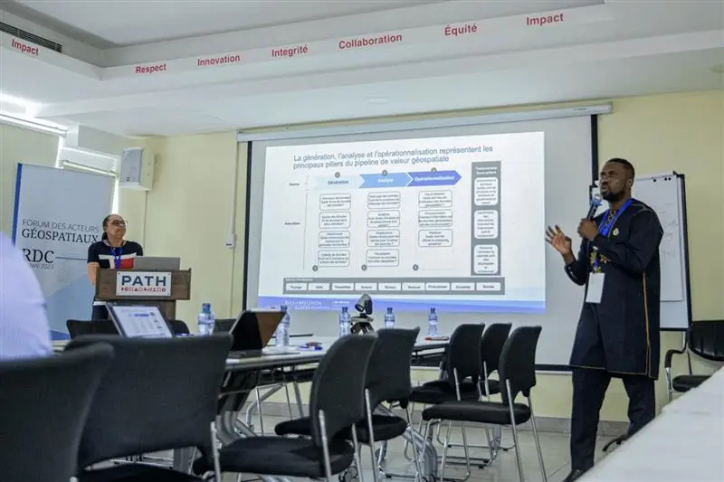
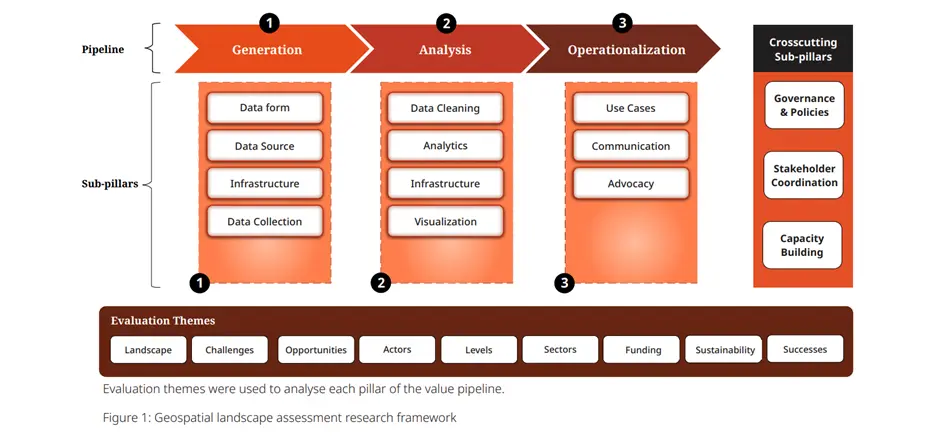
In 2022-2023, as part of its broader commitment to strengthening health data systems across Africa, the Gates Foundation commissioned Dev-Afrique Development Advisors to assess the geospatial data ecosystems in both countries: DRC and Nigeria. Why geospatial? Because knowing where people are – their exact locations, the roads that reach them, the health facilities that serve them – is fundamental to delivering health services effectively. Geospatial data provides this critical location-based intelligence that helps health programs reach every community. The Foundation's focus on Nigeria and DRC wasn't random – these countries face significant challenges with health infrastructure and service delivery, where accurate geospatial data could make a crucial difference in reaching vulnerable populations. Using the Geospatial Value Pipeline framework – a comprehensive model developed by Dev-Afrique – the assessments revealed strikingly similar challenges in both countries.
In Nigeria, government agencies like National Space Research & Development Agency (NASRDA) and Nigerian Population Commission (NPC), alongside organizations like GRID3 and eHealthAfrica, were all collecting geospatial data. Yet the ecosystem suffered from critical gaps: data silos, duplication of efforts, and no centralized repository. The same communities were being mapped repeatedly while others remained invisible to health planners.
In DRC, the situation was equally complex. Despite efforts by ANICNS RDC and Système National d'Information Sanitaire (SNIS), and partners like GRID3, Bluesquare, and SANRU asbl - Primary Health Care in Rural Areas, only 15 of 26 provinces had complete geospatial mapping. Multiple data repositories existed – GRID3 Data Hub, DHIS2, and the government's RGC – but without coordination, different versions of the same data circulated informally, creating confusion rather than clarity.
Both assessments also found that while basic data analysis was common, limited technical capacity at state and provincial levels meant that advanced analytics – the kind that could transform raw data into actionable insights – remained out of reach for most health teams.
Since then, the Gates Foundation's Geospatial Insights Support Team (GIST) has worked alongside local partners in both countries to understand these challenges more deeply. Through extensive consultations and stakeholder validation workshops, patterns emerged: In their well-intentioned efforts to support health systems, international organizations often arrived with pre-designed solutions that didn't match local realities. Projects would end when funding dried up, leaving communities no better equipped than before –and inadvertently creating the very problems identified in the assessments.

This mattered because it revealed why previous efforts had limited impact. The assessments made clear that sustainable change happens when local actors at the last mile define the problems and design the solutions – a finding that would shape everything that came next
A New Model: The Umbrella Fund Takes Shape
Responding to these findings, Dev-Afrique launched the Umbrella Fund in late 2024 – a flexible investment mechanism designed to provide catalytic funding to local organizations in low- and middle-income countries (LMICs), for the purpose of addressing systemic development challenges. Its first intervention, The Umbrella Fund for Geospatial Interventions, directly tackles the gaps identified in both assessments.
The core goal of this geospatial intervention is to strengthen data ecosystems by empowering local organizations in LMICs, starting with Nigeria and the DRC, to develop solutions that address their specific challenges – whether that's training health workers, providing essential tools, or building sustainable data systems
Solutions That Save Lives
The Fund concentrates on three critical health areas where better geospatial data can save lives – areas where assessments in both countries showed the most successful applications:
- Polio eradication – Both countries have powerful success stories. Nigeria's GRID3 created micro planning maps for all 9,565 wards, helping health workers identify previously unmapped settlements and contributing directly to the country's polio-free certification in 2020. In DRC, polio teams use similar mapping approaches for campaign planning, building on these proven models
- Malaria elimination – Geospatial data transforms outbreak response and prevention. In Nigeria, CIZOTI Nigeria Limited's vulnerability mapping helps predict flood-related malaria risks, while in DRC, MSF demonstrated the power of GIS by vaccinating 710,000 people in just 10 days during a yellow fever campaign, showing what's possible with good spatial planning.
- Routine immunization – Both countries saw significant improvements when geospatial data was used effectively. Nigeria's National Primary Healthcare Development Agency (NPHCDA) integrated geospatial maps with Emergency Operations Centers to track immunization coverage in real-time, while DRC's Ministry of Health reported a 15% immunization rate improvement through geospatial micro planning
These focus areas weren't chosen arbitrarily. Both country assessments showed that health sector applications had the strongest track record of turning geospatial data into real-world impact, providing approved foundation to build upon.
How The Umbrella Fund Works Differently
The Umbrella Fund operates on a simple principle: listen first, fund fast, and build local capacity.
Local Voices Lead the Way
The stakeholder validation workshops from both assessments had already demonstrated the value of bringing local actors at the last mile together. When convened, they identified practical, high-impact solutions like exploring open-source software to reduce costs and establishing inter-organizational working groups.
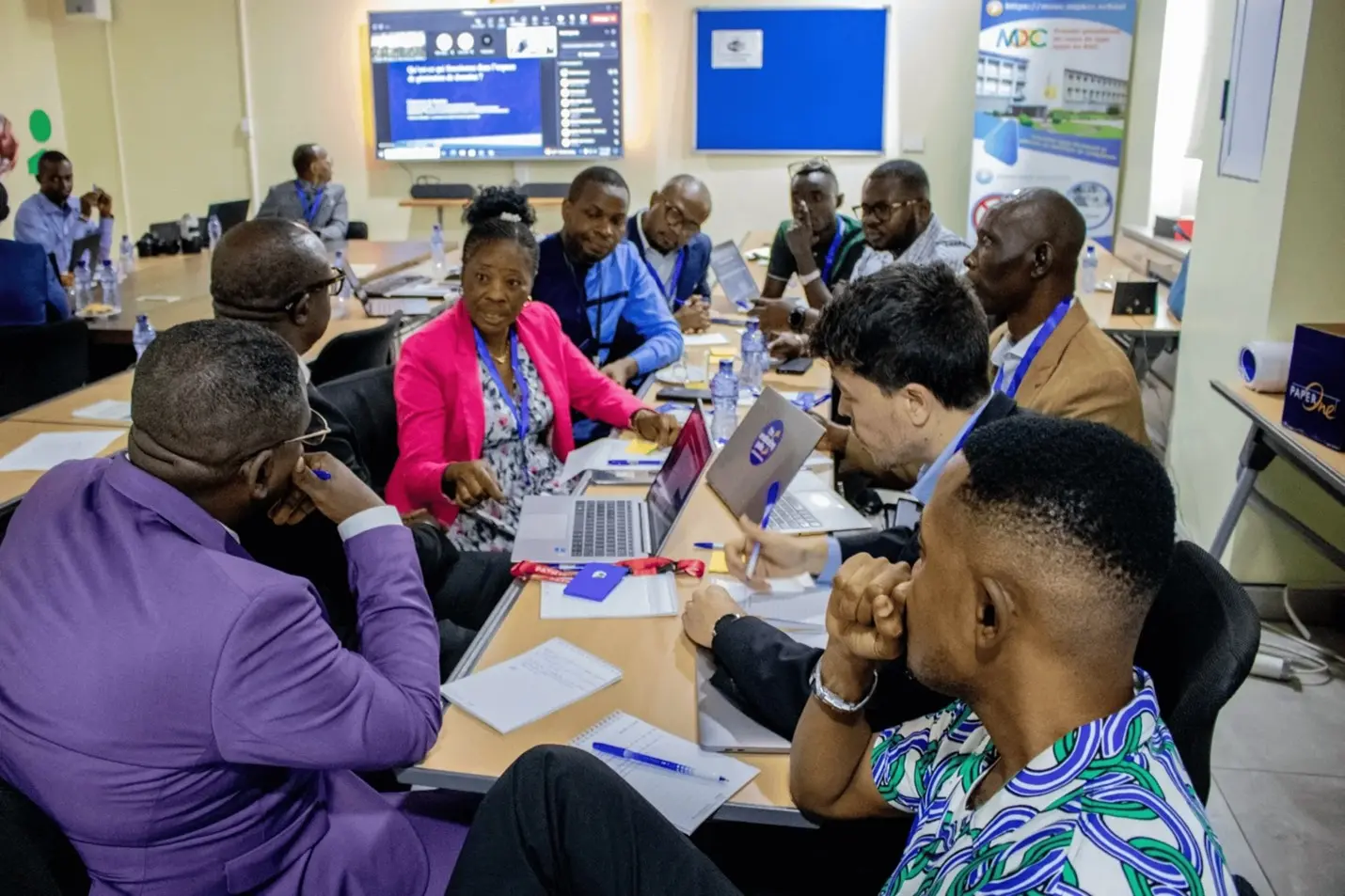
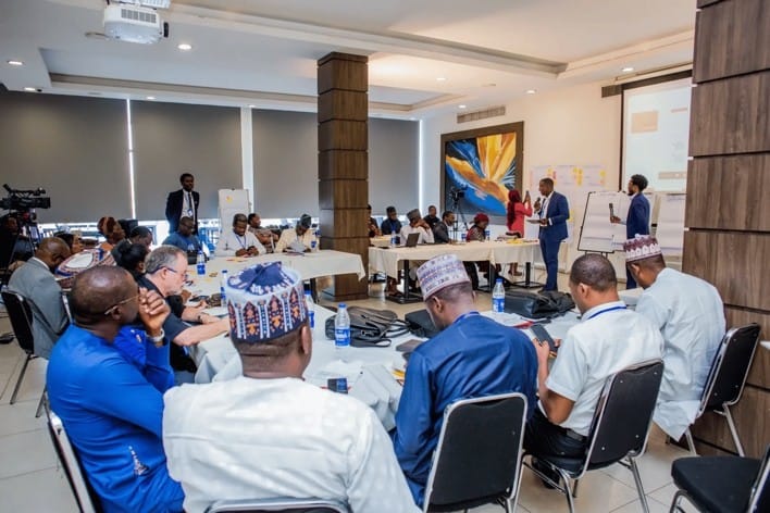
To ensure the Fund's design reflected these insights, The Umbrella Fund for Geospatial Interventions organized convenings in March and April 2025, in both countries. In Nigeria, the Fund brought together AFRIGIST Ile-Ife, Cizoti Nigeria, Data Science Nigeria, eHealth Africa, Fact Foundation, GIST, GRID3, Octave Analytics, and Sambus Geospatial Nigeria.
In DRC, a similarly diverse group shaped priorities, including representatives from ANICNS, SNIS, provincial health divisions (DPS) from multiple provinces, implementing partners like SANRU, Bluesquare, ACASUS, and PATH, academic institutions including UCLA-DRC and the Kinshasa School of Public Health, and development partners like GAVI, the Vaccine Alliance and Clinton Health Access Initiative, Inc.
Each organization was invited based on their proven track record in addressing geospatial challenges in health service delivery. During the convenings, they shaped the Fund's priorities, identifying what would actually make a difference on the ground.
Speed Matters
While traditional development funding mechanisms often require extended timeframes to approve and disburse resources, the Umbrella Fund rapidly deploys capital to address identified gaps. Following this swift disbursement, local organizations execute their interventions within focused 6–12-month implementation periods. When polio eradication teams require updated mapping data, when malaria programs need enhanced analytical capabilities, or when routine immunization campaigns face coverage gaps – delays in funding can have serious consequences. Both assessments had shown how donor-dependent initiatives often failed due to lengthy funding cycles; the Umbrella Fund was specifically designed to eliminate these bottlenecks by ensuring local partners receive resources promptly, enabling immediate action on pressing health challenges.
Building Networks, Not Dependencies
Beyond funding, the Umbrella Fund aims to connect local partners to a global network of geospatial professionals. Rather than bringing in outside experts to solve local problems, the Fund will strengthen the skills and connections of those already doing the work, ensuring that improvements last long after any specific funding ends.
The Path Forward
The Umbrella Fund for Geospatial Interventions represents a fundamental shift in development financing. It's a recognition that sustainable change comes from empowering those closest to the challenges with the resources, connections, and support they need to succeed.
This is just the beginning. As pilot interventions roll out and local capacity grows, we're learning what works, what doesn't, and how to do better. The lessons from the geospatial ecosystems in both countries – from successful vaccination campaigns to the insights gained through stakeholder engagement – guide our approach as we expand to new contexts and challenges.
We want to hear from you. Whether you're a health worker using data in the field, a technical expert working on geospatial solutions, or someone passionate about strengthening health systems – what challenges do you see? What opportunities exist for better collaboration? How can we ensure that local voices continue to lead the way?
Share your thoughts and experiences with us at [email protected]. Together, we can build health systems that truly serve everyone, everywhere.