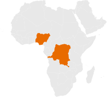
Investment Area
Geospatial Capacity Institutionalization
Embed validated geospatial and health data curricula within accredited academic and government institutions.
Our First Intervention: The Umbrella Fund for Geospatial Interventions
Building Sustainable Geospatial Expertise
Strong geospatial systems depend on skilled professionals, institutional capacity, and sustainable learning pathways. Yet across many low- and middle-income countries, geospatial knowledge is often developed through short term projects that leave limited institutional capacity once funding ends.
The Umbrella Fund invests in geospatial capacity strengthening to help establish long term training systems that develop, retain, and continuously strengthen local expertise. By embedding geospatial education within accredited institutions, the Fund supports a sustainable pipeline of professionals equipped to strengthen health planning, decision making, and service delivery.
Key Challenges Addressed:
Fragmented, project-based training initiatives
Limited institutional capacity to sustain technical expertise.
Weak alignment between training programmes and practical workforce needs.
Continued dependence on external technical assistance.
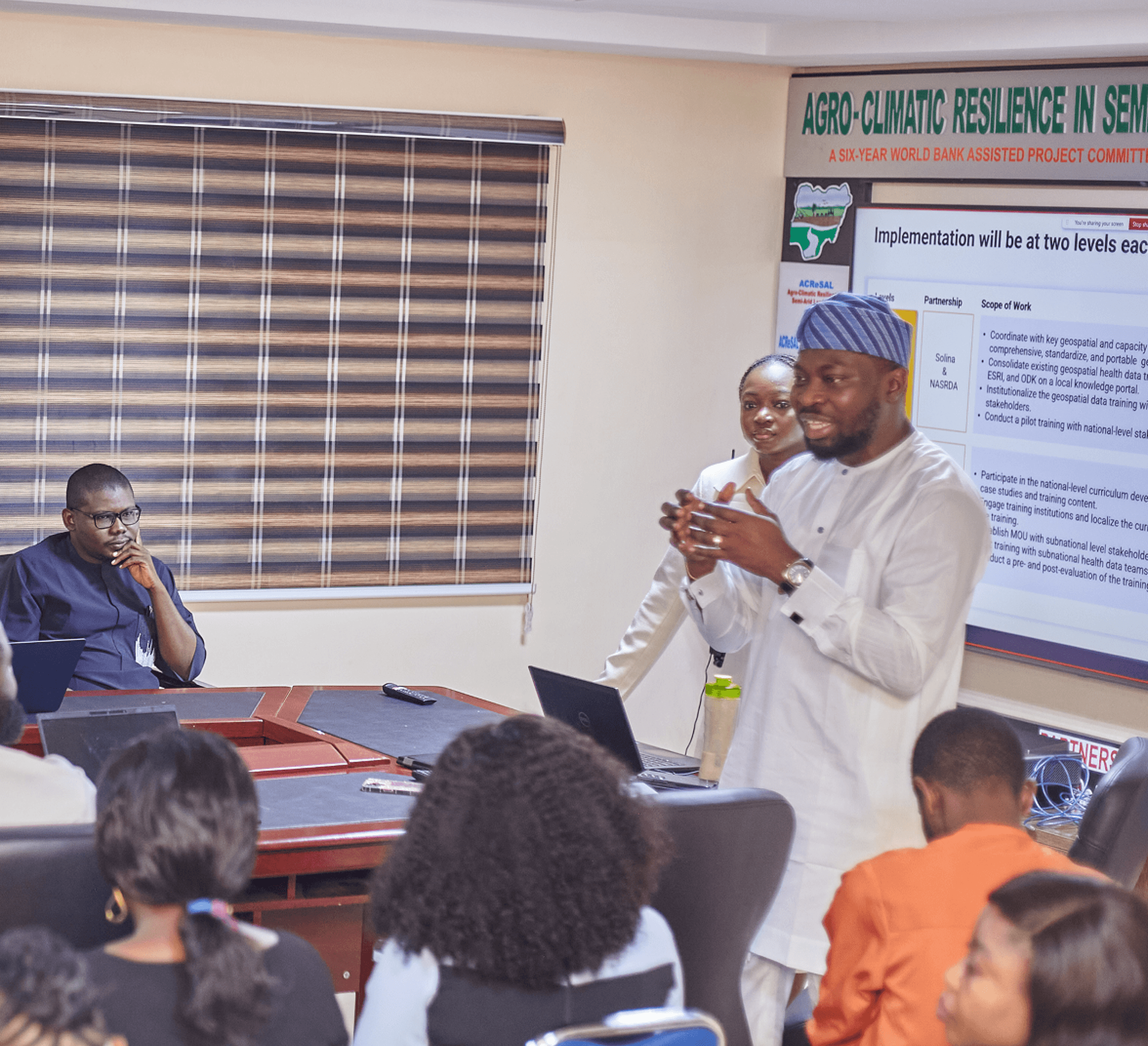
How We Invest
The Fund strengthens geospatial capacity by supporting institutions that can sustain knowledge, develop future professionals, and strengthen national ownership of technical expertise.
Our investment approach focuses on:
Developing standardized geospatial curricula aligned with national priorities.
Strengthening faculty capacity within academic institutions.
Establishing knowledge repositories and resource sharing platforms.
Supporting professional certification pathways that strengthen workforce quality and recognition.
Curriculum Development and Institutionalization
Embedding geospatial education within accredited institutions creates sustainable learning systems that extend beyond individual projects and funding cycles. The Fund works with universities, professional institutions, and government partners to institutionalize geospatial training at both national and sub-national levels.
National Level
Develop nationally recognized modular curricula through collaborative design.
Establish shared knowledge repositories across institutions.
Support certification frameworks that strengthen professional standards.
Integrate geospatial curricula into existing academic programmes.
Subnational Level:
Adapt curricula to local health priorities and implementation contexts.
Strengthen faculty capacity within regional institutions.
Promote practical learning through partnerships with local health agencies.
Establish communities of practice that encourage continuous learning and peer exchange.
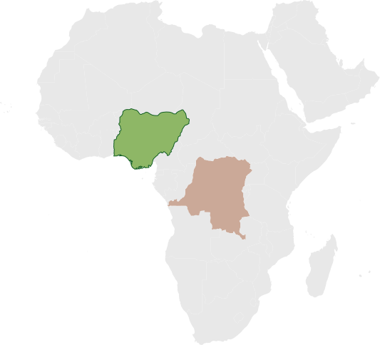
NIGERIA IMPLEMENTATION
DRC IMPLEMENTATION
Partner What was Delivered Status
Solina Health, in Collaboration with NASRDA
Developed and institutionalized the National Geospatial and Health Data Curriculum and launched the National Geospatial Knowledge Hub, now hosted by NASRDA.
Completed
FACT Foundation, in collaboration with University of Maiduguri
Institutionalized the curriculum within the university and established three academic certification pathways through a formal MoU.
Completed
eHealth Africa, in collaboration with Bayero University Kano & KSPHCMB
Embedded the curriculum within accredited training programmes and trained health data teams who later supported the Kano immunization campaign.
Completed